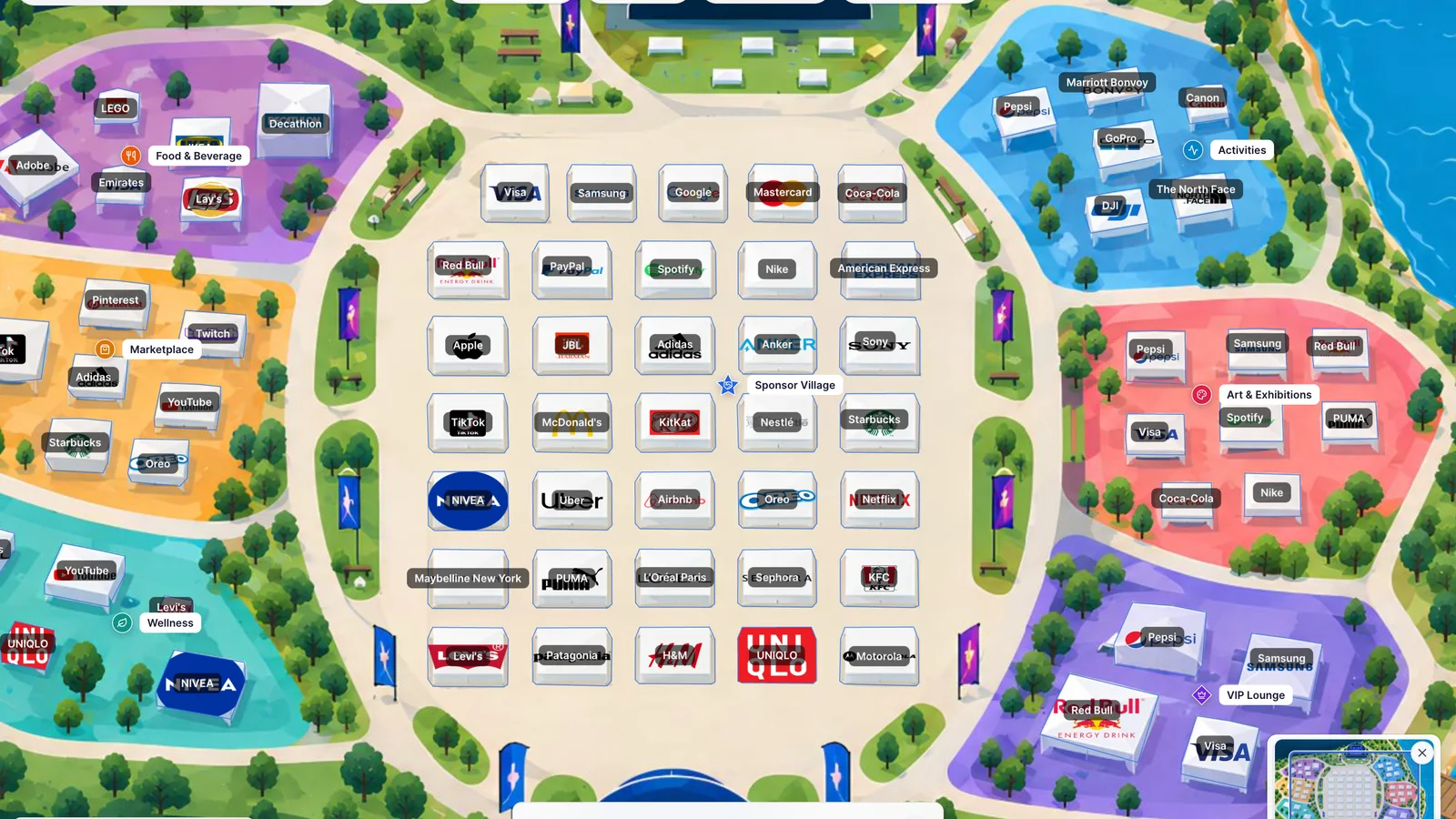
GuideEventsSponsorsWorkflowHow to Manage Event Sponsors, Booth Pricing, and Attendee Navigation on Interactive MapsFrom sponsor pitch decks to a live attendee festival guide: learn how to map booth boundaries, pricing tiers, and stage proximity, and help participants discover brands effortlessly.October 13, 20267 min read
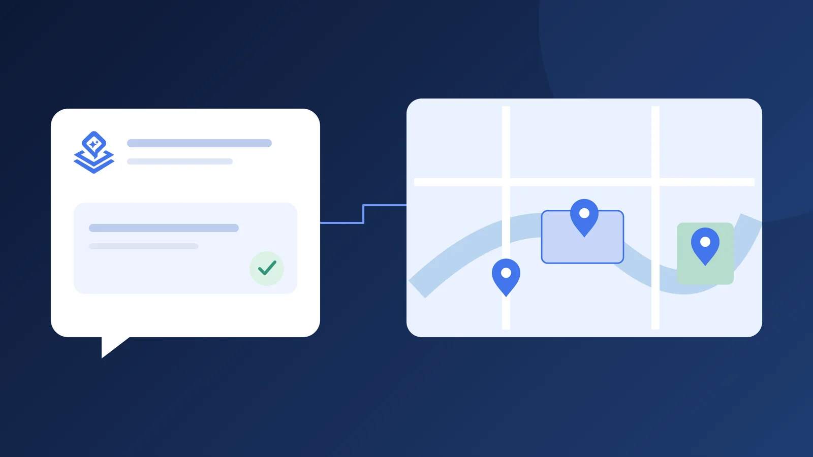
WorkflowAIToolsContentMeet Pinny: your AI assistant for building better mapsTurn reference files and ideas into reviewable map content. See how Pinny helps with items, filters, translations, and your account.October 6, 20263 min read
GuideAIGetting startedToolsSet up your API key and start working with PinnyConnect a supported AI provider, choose a model, and make your first reviewed map update with Pinny.October 6, 20263 min read
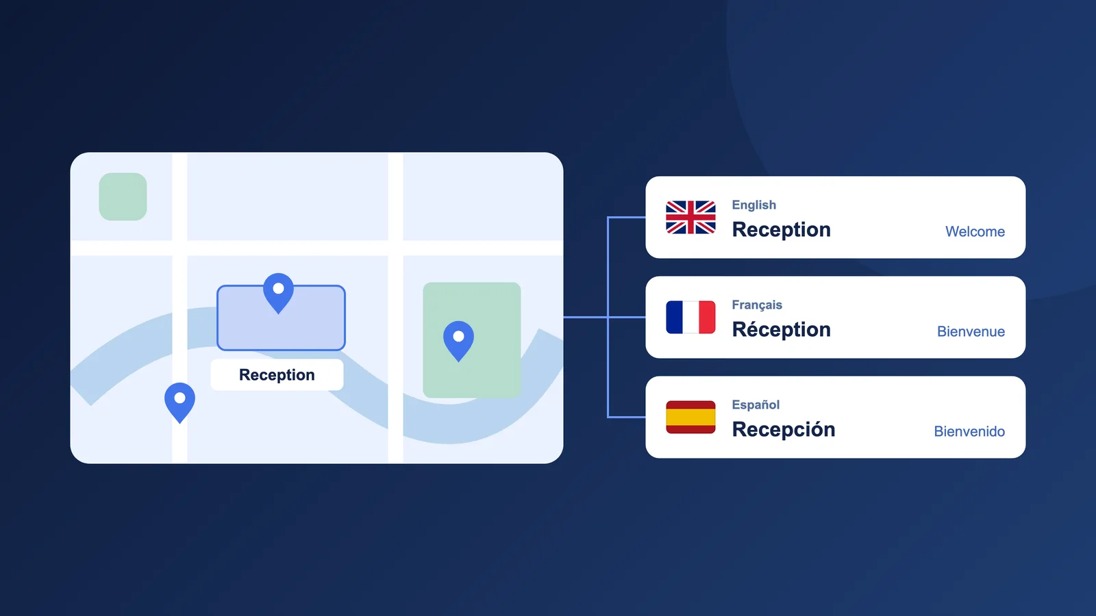
GuideLanguagesAccessibilityAIHow to Translate Your Interactive Map and Reach More PeopleMake your map welcoming in more languages. Learn how to translate labels, info cards, and filters in Layerpin, review each language, and publish one map for a wider audience.September 15, 20266 min read
WorkflowFiltersNavigationHow to Use Interactive Map Filters to Help People Find What MattersPlan useful filter groups, assign map items efficiently, and turn a crowded interactive map into a focused decision-making tool that drives conversions.August 11, 20269 min read
Getting startedFloor plansGetting startedHow to Create an Interactive Floor PlanTurn static architectural blueprints, CAD drawings, and office layouts into clickable, branded interactive floor plans with searchable spaces, rich media cards, and clear availability details.August 10, 20268 min read
Map designMarkersShapesMarkers vs. Shapes: Choosing the Right Map ItemMaster the strategic use of pins, polygons, rectangles, polylines, and labels to create clean, intuitive interactive maps that communicate spatial hierarchy effortlessly.August 9, 20267 min read
Map designInfo cardsContentDesign Map Info Cards That Help Visitors DecideStructure high-converting info cards with compelling media, structured data badges, custom action buttons, and frictionless mobile drawer UX.August 8, 20268 min read
PerformanceImagesPerformancePrepare Large Images for Fast Interactive MapsA technical guide to exporting, optimizing, and configuring gigapixel blueprints, aerial drone photography, and vector site plans for responsive deep-zoom performance.August 7, 20268 min read
PublishingPublishingSharingA Safer Workflow for Publishing Map UpdatesHow to edit, stage, test, and publish map modifications with zero downtime or broken links across your embedded live websites.August 6, 20267 min read
Content managementMediaContentHow to Organize a Map Media LibraryKeep hundreds of property photos, booth logos, and architectural drawings searchable, reusable, and properly formatted across all your map projects.August 5, 20267 min read
ToolsMeasurementFloor plansHow to Measure Distance and Area on an Image MapCalibrate custom scale ratios on floor plans, architectural drawings, and aerial photos to measure linear distances and calculate square footage in real time.August 4, 20267 min read
Map designMobileAccessibilityDesign Responsive Interactive Maps for MobileImprove mobile usability with touch-friendly pin targets, bottom sheet drawers, gesture-friendly navigation, and adaptive UI layouts.August 3, 20267 min read
Map designLabelsAccessibilityCreate Clear Map Labels and a Useful Visual LanguageCartographic design principles for readable typography, high-contrast badges, accessible color palettes, and interactive map legends.August 2, 20267 min read
ToolsDrawingNavigationUse Polylines and Connectors to Explain a MapDraw guided walking paths, transit corridors, directional arrows, and leader line callouts that keep complex maps organized and easy to navigate.August 1, 20267 min read
Embed GuideEmbeddingSharingHow to Embed an Interactive Map in Your Website BuilderA step-by-step guide to installing a Layerpin interactive map in WordPress, Webflow, Wix, Squarespace, Framer, or Ghost.July 31, 20268 min read