
Included in Basic:
Extra views: $0.002/view after limit.
Upload any image, place interactive pins or custom shapes, attach rich media, and embed responsive maps on any website. No coding required.

See how Layerpin turns a static image into an interactive, shareable map with markers, shapes, rich content, and responsive publishing.
Workflow
Draft privately, preview with confidence, and publish only when your map is ready.
Upload the image. Start with a floorplan, site plan, diagram, venue image, product shot, or store layout.
Drop your image
JPG, PNG, WebP up to 250 MB
Add the interactive layer. Place markers and draw shapes directly over the source image with precise editor controls.
Booth #12
Tech Pavilion
Preview the public view. Check how viewers will explore content, media, search, and map controls before publishing.

Innovation Hub
Interactive robotics demo
Publish or embed. Share a public map URL or install the generated embed script on an authorized website.
<iframe
  src="layerpin.com/embed/expo-2026"
  allow="fullscreen"
/>
Capabilities
Everything you need to turn static blueprints and floor plans into interactive experiences.
Markers with rich details. Turn pins and shapes into helpful guides with photos, notes, tags, and action buttons.
Main Stage Demo
Booth #402 - Innovation Hub
Live robotics exhibits, scheduled tech talks, and partner networking.
Precise shapes. Draw polygons, rectangles, circles, lines, arrows, text, brush paths, and invisible hotspots.
Searchable content. Organize map items with tags, categories, and rich content so viewers can find the right place fast.
Publish with control. Keep drafts private while editing. Publish a stable snapshot for public URLs and embeds. Viewers see the published version until you publish again.
Website embeds. Authorize site origins, preview device sizes, and install a hosted script or iframe.
<iframe
  src="https://layerpin.com/embed/map_8912"
  allow="fullscreen"
/>
Large image support. Upload large high-resolution floorplans, site plans, and detailed maps on supported plans without slowing down performance.
Serve maps for high traffic. Paid plans unlock public delivery, website embed controls, monthly view allowances, and larger high-resolution images on Pro and Premium tiers.
One map, many languages. Welcome visitors with translated labels, filters, and info cards. Share one map in the languages your audience knows.
 English
A warm welcome
Find your way, ask a question, or plan your visit.
Live Editor
Place clickable pins, reshape zones, and publish live revisions right from your browser.
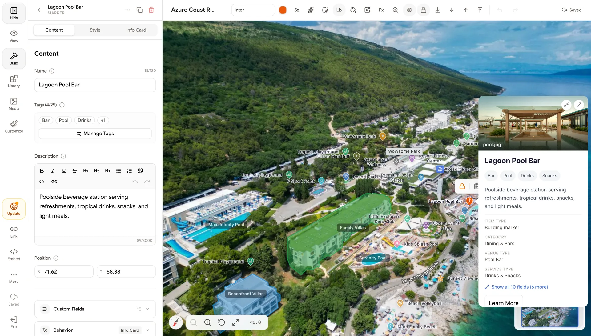
Drop any blueprint or plan, then place clickable pins and custom labels in seconds.
Trace rooms, booths, and corridors with snapping polygons and custom boundary styling.
Attach photo galleries, custom fields, and call-to-action buttons directly to pins.
Relocate pins, reshape zones, and publish instant revisions without re-uploading images.
Use Cases
Explore real-world maps updated continuously across leasing, events, and venues.
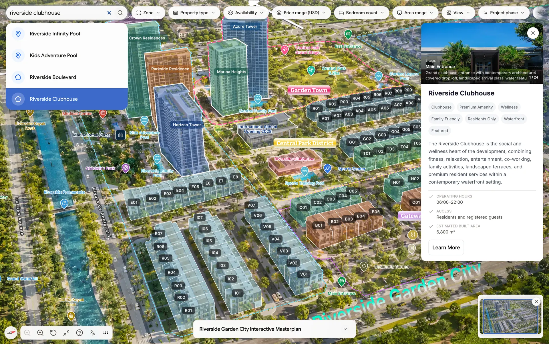
Real Estate & Floor Plans. Highlight unit availability, specs, photo galleries, and rental rates directly on floor plans.
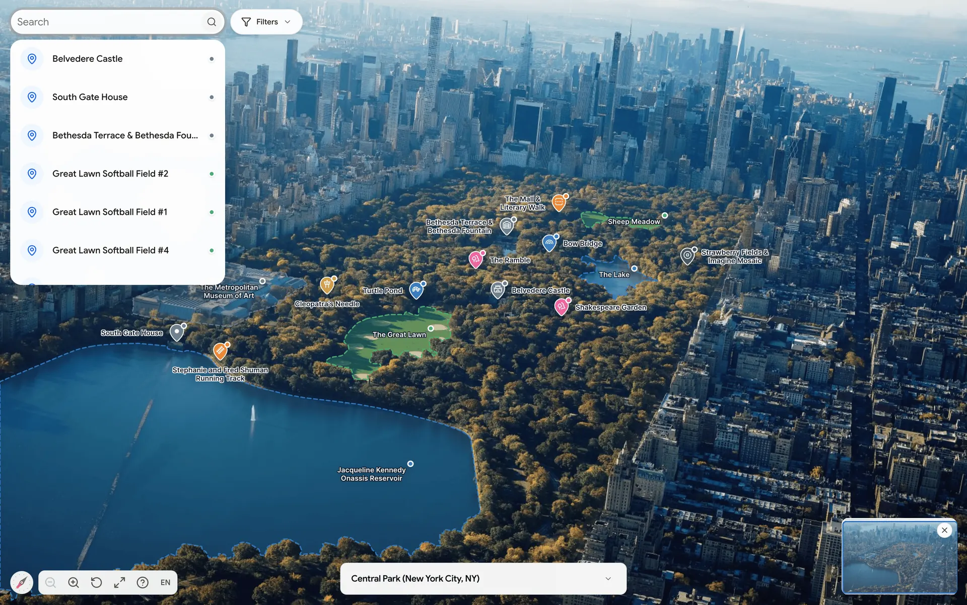
Parks, Campuses & Trails. Guide visitors through walking trails, university campuses, amenities, and landmark attractions.
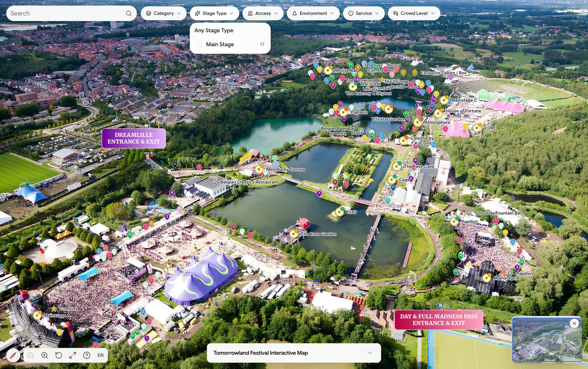
Event & Exhibition Halls. Reassign vendor booths, update stage schedules, and direct attendees across expo halls.
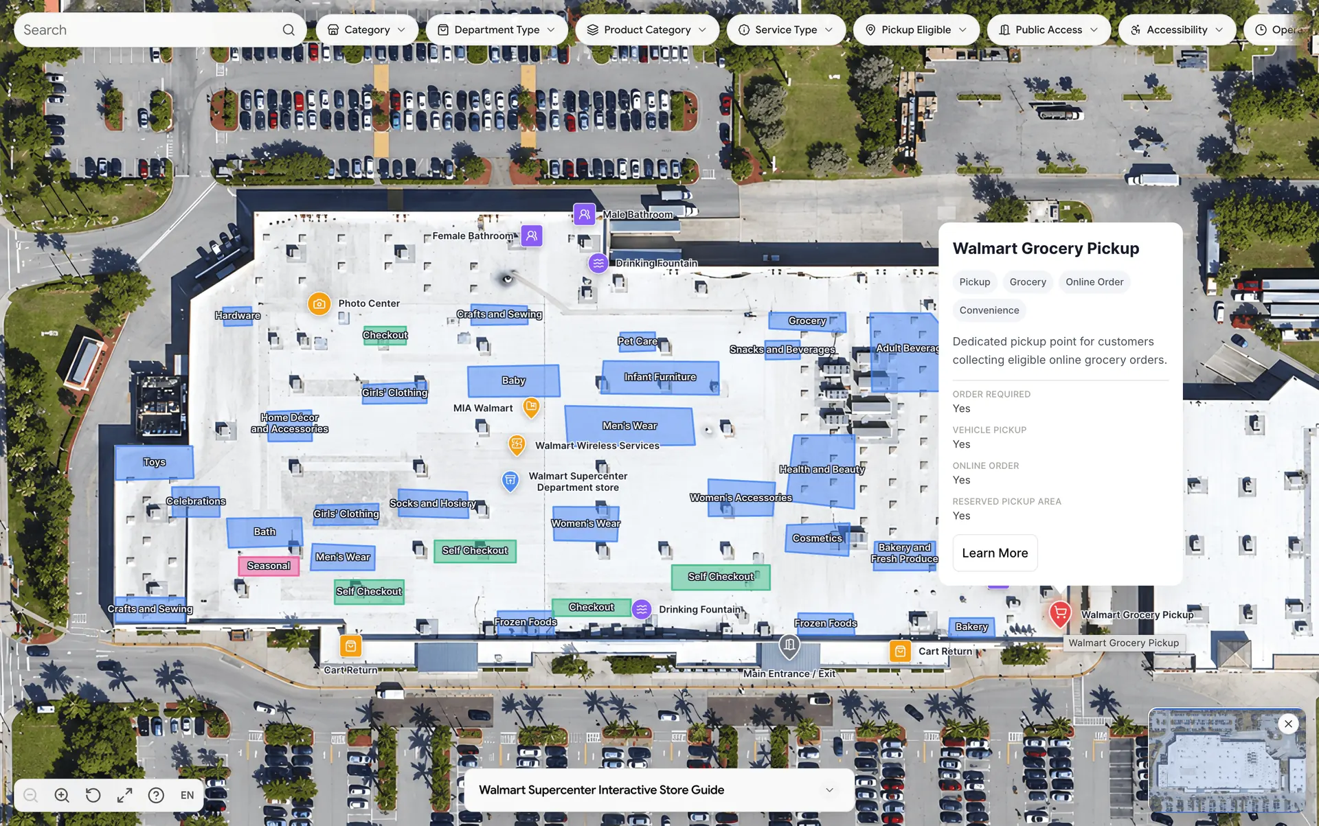
Retail & Store Guides. Turn store layouts into searchable guides for departments, seasonal displays, and promotional zones.
Pricing plans
Build privately first. Choose a paid plan when you need public links, embeds, usage tracking, and delivery capacity.
Included in Basic:
Everything in Basic, plus:
High-volume teams with many maps, origins, and larger traffic.
Everything in Pro, plus:
FAQ
Short answers to the questions most users ask before creating their first public map.
Create your first map privately, then publish or embed when the content is ready for viewers.